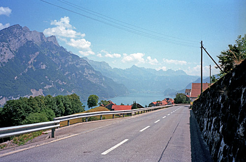
After a nice little ride down to the Sihlsee lake in the morning, I followed the lake on the right side until Willerzell (890m) where I went up a small road over Sattelegg (1190m), which is a somewhat uninteresting pass, but it is a nice alternative for the cyclist. (Another option here would be to go over the Etzelpass (950m), but its longer if going east. The north side of the Etzel is known to be quite hard at over 11% for 4.5 km.) Sattelegg is an easy pass in my direction. From the other side it is a little more climbing on a steeper road (5 km over 8%). There are views from the top of the pass, but rather boring, so I skip the photo here from the pass. The road is fine.
Now I had to go down a little lower to Siebnen (446m), from where it was just to follow the road eastwards, or so I thought. I think I bought some new sun cream in Siebnen at a shop and a coca-cola. Very sunny today, but still not too warm. I was supposed to go to Weesen and looked for the name on signs, but had no wish to stop and look at the map. I probably find it, I thought. But the local road I followed turned a little as it went to Näfels and the name did not remind me of where I was, so I continued up until I was just outside Glarus, when I realised where I was and that I had turned up a valley I did not intend to visit again. I stopped for early lunch at a McDonalds and looked on the map on my iPhone as there was Internet access (less expensive to use then and maybe I had cut out portions of the map here, but I should know the area well from before anyway).
I probably did not look at the map earlier since I was not really convinced that my original plan was a good idea to follow here. I needed to save time somewhere and it was good to save it early on, so I would not be forced to jump over more interesting climbs later on. The idea had been to climb over Vorder Höhi (1537m) which is a quite hard pass (over 10% on average for over 10 km), but still not over 1600 metres that would make it more difficult for me to justify leaving out of my plans. It was getting quite hot and it looked very hot up in the direction of Vorder Höhi. I also wanted to get to higher mountains now, so I decided to leave the detour over Vorder Höhi and more out of the planned for this tour. I later met another cyclist who thought that Vorder Höhi was no longer a surfaced pass, but I believe he is wrong (see Quäldich and the comments on the north side being newly asphalted).
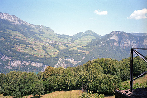
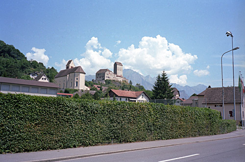
I went back to Netstal (which had seemed familiar to me when getting there) and took the road I had travelled two time before in the other direction by the airfield of Mollis and then up the hairpins to Kerenzerberg (743m). Here I took a photo of the Vorder Höhi climb on the opposite side of the Walenstadt See that cannot be passed by on any other road than this Kerenzerberg road with a bicycle. The closest alternative would be to go over Vorder Höhi (which is a half-day detour ride). I continued down to Walenstadt and followed the easy road to Sargans (where I took the photo of the castle). I stopped at a grocery just before Sargans to get a coca-cola and yoghurt.
This day thus became the day of most flat cycling and it can be a bit hard after just going up and down and especially as one is having constantly high temperatures. After changing side in the big valley a few times and going a little up and down I eventually reached Chur (595m), where I had hoped to find some good place to stop at, but I could not really find any place to stop at there (even though I circled around for almost half an hour) and it was a very disappointing city that I have not been to before.
Oh well, I thought after a while, I better get going and started out on the climb up to Parpaner Höhe (1547m) , most known as Lenzerheidepass (so named on the Michelin maps, but there are no Swiss maps or local signs with this name). This is known to be an easy pass, but that is likely because cyclists often go over this from the north after coming down the Julierpass and Albulapass. From Chur it is quite a hard pass indeed. It was not better since it was very hot now and that I had not find any place to get something to drink in Chur. I went on in an even tempo and eventually it got a little easier, but the traffic was hell here. I also got a phone call higher up and was nearly run over by a car while trying to finish the call. I stopped in Parpan just before the pass to get a coffee and ice cream. I was actually not on my way directly to this pass, but to another one.
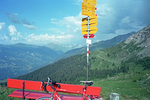
I was on my way to conquer another +2000m pass in the Alps that should be possible to get to with a road bike. This is a pass simply called Joch (2020m) and I have seen references to Churerjoch for the pass as well (it is really just above Chur). I found the little road going up the mountainside and then it was easy to find the way (I also had photocopied a detailed map for this climb). There might be a more direct approach from Churwalden, but it is a steep road that is not surfaced and might thus be impossible to get up with a road bike (I asked a local, but she did not even know of such a road and suggested the one I took).
This little road is a bit steep at first, but then becomes almost flat for quite a while while going back in the direction of Chur. It was quite nice up here and the road was very good asphalt, but also very narrow. At the junction with the road from Churwalden (Foppa (1753m)), the road surface starts to deteriorate, but I was surprised it was still asphalted and hoped that I would discover that it would be asphalted to the top, which would be quite some news if it had been. Unfortunately the asphalt ran out eventually, but then it came back for a while again. I think the last kilometre was gravel, but still possible to ride with a road bike in good weather. The views are great from the top of the pass. The mountain outside the pass is only a little higher (2042m), so the views are very wide here.
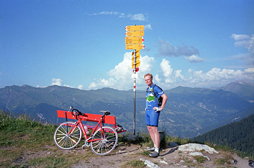
Just as arrived a man came walking up on the path on the other side with his mountain bike. He had been going here some times before with his bike and it was one of his favourite routes. One could get up to Arosa here on nice paths with a mountain bike. I had also been curious if there would be a way to get up (or down) here from Tschiertschen, but there would be somewhat long walk for close to an hour (I guess). It is quite a climb to get all the way up here from Chur, but it is nice to know that it is possible with a road bike (albeit a bit hard on parts of the gravel stretch).
I returned back down again to Parpan (there was a good water pipe just where this little road starts). After the short climb to Parpaner Höhe (1547m), I realised that already it was getting late and it now also became clear that there were bad weather ahead in some directions. I had planned (yet again) to try and get up the steep gravel road to Obermutten. I was thinking to do it even if it was late and took of the main road in Lenzerheide to start on the alternative descent via Zorten and down the north side. This road might be gravel in parts and I had not managed to find any information on the Internet on this before, nor were the road signs here very clear. I stopped to look at the map and assess the situation. There were really too much uncertainties and it looked very, very likely that rain was on the way, so I had to realise that this was no good plan this year either to try and get up to Obermutten now.
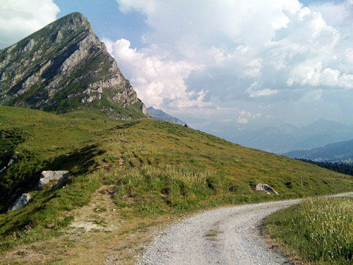
A bit sad over this I decided to go ahead down in the direction of Albulapass that I was going over next in any case. The problem was that the weather looked even worse in that direction. Since it was late, I decided to simply try and get down to the start of the climb up the Albulapass. The road had already been a bit wet in parts down here. I stopped at Surava (904m) at the only hotel there I could find. I could have gone to Alvaneu Bad instead (as planned), but it was raining there and the distance is not long anyway.
The hotel at Surava was quite nice. Not so cheap yet again. I had some local food which was good and wine. I talked a little more with the person I had been forced to cut off while on the traffic filled road up to Parpan and the only other guests there apparently got very irritated on me that I talked on the phone (which I realised too late). Luckily I would soon be in Italy and there no one would ever notice if I talked on the phone in a restaurant (apart from a few more posh ones, perhaps). People in this area of Switzerland are usually quite nice outside horrible places like St. Moritz and the like, that is.
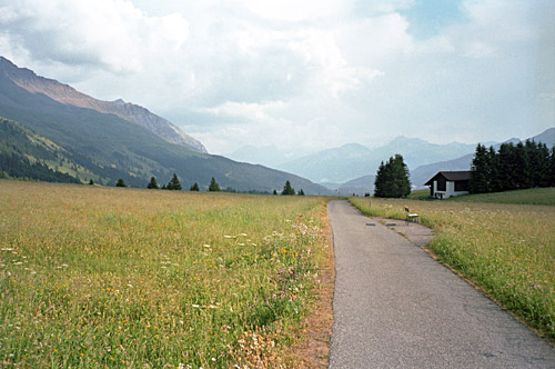
Already in the evening I learnt that I might not be able to get up the Albulapass in the morning as the road had been closed. The bad weather I had seen had damaged the road higher up where there had been big landslides. There were some road workers coming in late getting beers and I guess they were the ones bringing the news. I hoped that maybe they would work quickly and that they would clear the road until I got around there. I was happy to ahve climbed the first +2000m pass for the year and a new one for me too.
