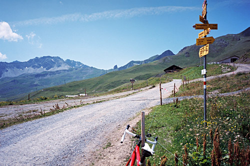
It was rather warm already when I left this morning (well, I am not as early as most other cyclists). After a short climb I reached the high point of the road (1111m) and then it was a nice ride down through Flims (1059m) (bottom at 571m) to Chur (595m). I have never found a place to buy anything (groceries) in Chur or any place where one could fill up with water. The town is chaotic and not very nice. So, better get the hell out of this place as quickly as possible (unless you want to spend your time shopping bags for ladies)!
I had really hoped to find some water this time before leaving Chur, but no way. So I started out on the steep road up to Arosa. Both this and the road to Lenzerheide are rather steep at the beginning and both are hot to climb in the Summer. There are absolutely no water along the road until you get half-way up to Arosa. This left me a little tired, but I am used to get along on very little water, so I pushed on. It gets less steep when you reach Maladers. Then there is a long tunnel and then a long bridge, after which you arrive at Castiel (1176m), where it starts to get quite nice. (There seems to be an asphalt road going up to Lafet (1856m) above, which could have been a pass if there would have been a passage down on the other side, but maybe a nice climb anyway. Even up to Triemel (1849m) has an asphalt road a little later, where one possibly could continue above 2000m height.)
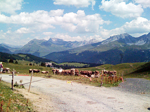
At Castiel it starts to get flat and just a little up (mostly) and down (I think there was water here). Next I came to St. Peter (1253m), where a nice little grocery shop was open and I stopped for an Arosa yoghurt and coca-cola. I have been once before in St. Peter, but then arrived here via Molinis at the bottom of the valley, after having climbed up via Tschiertschen (1343m) from the Lenzerheide road. That time I took off the Arose road at Langwies (1377m) (here is a good place for water) and went up to Strassberg (1919m) and then went over the Durannapass (2121m) where I did not have to walk as much as I had thought, but the gravel road down from Obersäss (2054m) on the other side was a bit rough even if possible.
This time I continued up to Arosa and after Langwies, it becomes steep again. First it is gently uphill to Sunnenrüti (1451m) and then down to cross the Plessur river at 1402m. Then it is steep all the way up to Arosa (1738m) through the woods. When reaching the first hotels, take the first asphalt road (big one) going left up through a village of Summer houses where there is also a bus that runs. If you keep going up, you will eventually comes to a gold course and a big hotel/restaurant (1862m). Soon hereafter I thought I had to take a gravel track to get up further (just as a mountain-biking girl did). But later I came to an asphalt road again and realised that I should have kept going on the flat road (as I could see on my return trip that it was perfectly asphalted all the way). It is simply a bit confusing here.
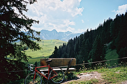
Anyway, back on asphalt the road climbs nicely up the last part of the woods (Arlenwald) and you are greeted with better views although there are many people up here walking and there are no directions to look in that are not filled with ski lifts and the like. The asphalt road ends at Mittler Hütte (2010m), which is a hub for the ski lifts here. Continue 180m on the gravel road and you will reach Sattel (2015m), which is a little pass here. This is really the most logical end of the climb up to Arosa and makes the whole climb a bit challenging with 1488m of climbing from Chur.
I stopped and asked an old lady coming down the gravel road about the quality of it further up. She did not think it was worth going up with my bicycle and I was not too interested in finding out. She complained about how terrible this area had become since when she was younger and I agreed that it could have been much nicer without the stupid people going up and down the valley in their SUVs and ski systems up there, but it might be fine in the Winter. And I found the situation a bit comic that we both did not like the place much, but still we were there … oh well. I took another photo on the way back zig-zagging down between families with trolleys etc. I stopped at the big hotel on the way down by the golf course and had a cake and coffee rather expensively served by unfriendly personnel there. At least I got to have a call back home for the first time.
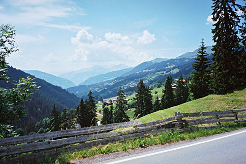
I was trying to go down another way where I had not passed by on the way up, but had to go back as the asphalt soon disappeared. I went back down the same way I came and did not stop until reaching Langwies again to fill my water bottle (well, I stopped for another photo just before down the valley where one sees well the Langwieser viaduct). This climb is really only very nice between Castiel and a little after Langwies – that is the best part up here.
Back down in Chur it was hot, but I had been rolling down there so it was not a problem. I was quickly out of Chur as I knew the way to go now. I went in the direction of Lichtenstein to Zizers and Landquart (529m). I stopped in Zizers by a grocery shop and was a bit tired due to the heat and parked my bicycle a little carelessly so I had another little scratch on the frame. Guess I will have to get a new frame soon, but I am rather happy with a red frame as I also had on my first good race bike (Cannondale), but now silly people sell and buy mostly black frames, which is by far the worst colour for a bicycle frame (I had such a one from 2001-2005 and regretted it a month after having bought it). I hate black colour on anything and this recent trend of making things in black only serves to make things look cheap, really (contrary to the intentions). Now you can often get things in white, which has become the latest fashion, but even if white is better than black, it is still poor choice of colour. I changed to white handlebar tape (like so many others) this year, because I actually also like it, even though it may not be so bloody practical. But I also would never wear anything but white bicycle socks. No, I do favor polished aluminium on bicycle parts and red for frames (there are other nice colours too and one could have multiple-coloured frames by all means, it is just so hopelessly without imagination to only have a black or white frames, like many companies offer these days).
I bought a carrot, yoghurt and coca-cola this time for a change. Then I followed a road suggested for cyclists most of the way up to Küblis. I lost the bicycle path already in Grüsch, where I went up to the village and then somehow got back out on the road again. Then in Jenaz (732m), I followed the main road, but I think some car drivers thought I should have chosen some alternative here too, but I was not sure if there was any other asphalt road without having to go on high roads. There is nothing special about this road though, so doubt it should not be a problem to bicycle there. In Küblis (808m), I went to yet another grocery shop for a coca-cola as I thought it was best to be prepared as I would not get a chance to stop for some time now.
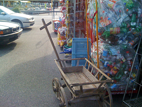
I had decided that there was yet another asphalt pass up here without a proper pass name, that I needed to visit, namely Aschüel (1607m). I took a photo by the shop in Küblis of a wooden shopping wagon that a lady just left out there when she came down here to go in to the shop. So this is how they carry groceries home from shops in Switzerland!
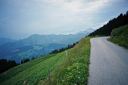
The road up to Pany (1251m) from Küblis is rather steep, but also nice. I could have left the valley earlier down to get up here, but thought I should take the obvious way. Then the road is sort of flat for some time and unfortunately there were road work here with a long stretch of pretty bad gravel as I came here (should be asphalt again when you read this). My tyres survived and the continuing road is quite good. After crossing the river the road starts to climb again. Soon I was at St. Antönien (1420m). I went up on the first asphalt road here, which I think I did because I had figured it out beforehand that it would be an asphalted short-cut up here, but it was slightly confusing and had a short stretch that was not so good, so you might do better to continue a little and take the obvious road up here to the left.
After some climbing on this steep road I was aware that it was getting late yet again. I had planned to try and get back to Pany for the night at least. I also noticed that all of a sudden the weather has turned rather bad, which I had not seen a trace of until now. At Acshüel the road forks and a road climbing to the left only goes to some houses there, while the road that climbs to the right is nice and continues. This road passes a little over the actual geographic pass height, but the best approximate height I found at a local bus website.
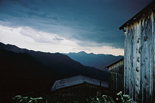
At 1652m (the first bend after the pass, you have a good views (I stopped for a photo here). Here I wondered if I should continue as the weather really started to look ominous and it was getting late. The surface is also less good from here, but to me it looked like asphalt though another description I had read beforehand at quaeldich.de about the road up to Bärgli (2137m), where the road ends, suggested that the road was not asphalted, so I thought that maybe they had asphalted part of the road since the report was made at quaeldich. What I did not remember was that they had said it was recycled asphalt and that it was not loose in the wheel lanes. I could not see any difference between this road and a badly asphalted one, apart from that there was more loose gravel in the middle than usual.
So I thought that I continue until the asphalt ends, which I thought would be soon. But even if the road was not perfect in the wooded section thereafter, it then got better again later on, so I kept going and eventually I thought I could as well do this climb and just hope that I would have luck with the bad weather. I worked my way up at a constant speed looking at phony signs they had put up along the way for a cycling event here, suggesting it should be very hard going, with which I could not quite agree, even if it was not super-easy either. It also did not look like the place where people would go up in a cycling event (at least not this late in this weather).
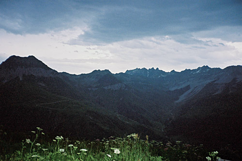
There was less gravel on the road once out of the woods and I have seen recycled asphalt on roads before, but then it has been a loose and dangerous surface. Here it was indistinguishable from a not so good asphalt road. It took time and I was close to giving up shortly before reaching Bärgli as I sensed the first raindrops already. But why give up there if I anyway would get rain on the way down, so I just hurried on up to the end, hurriedly took some photos in three directions, while putting on the wind jacket and down I went within 2-3 minutes again. I only came a few hundred metres before I was in the worst kind of weather with thunder and lightening striking down not far away.
The rain smashed down on me so hard I had trouble seeing the road and it was getting dark. I just stayed glued to the handlebars and tried to descend as fast as I possibly could with safety and it was not particularly difficult to get down this road with some speed, the problem was the narrowness, the rain, drainage gullies and a few worse places and tricky bends. So it was not a quick descent even if I tried to get down quickly. I just have to get down to the woods and then I would be out of the worst I thought and so I was, but by then I was totally soaked and cold. The rain just poured down all the time until I reached St. Antönien (1420m).
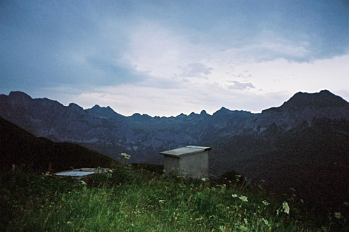
I must find a bed here in St. Antönien I thought and went down to the first hotel in the village that looked a bit less expensive and went in and asked for a room, but they were fully booked. I thought I had seen another hotel above the village, but in this weather I was not in a mood to go far, so I just went back up to the more prominent looking hotel and asked them. The answer was the same. I then asked if they had any idea of anywhere near where I could find a bed and they told me of a bed and breakfast that possibly, but unlikely, could have a bed. They were nice and called the place, but it was also booked. Ok, I just go down to Pany then I said.
But jsut as I were about to leave, they told me to wait a little, because they just realised that one of the guests had not shown up and now it was just over 21 pm, so they gave me that room at a reasonable fee (well, about as much as I paid anywhere this year, but could not care much this time). I had a shower and the hotel was really nice. I took a place with some locals and had something good (something local I think, cannot remember quite now). Also had several nice dark beers and they had folk music festival in the village this week, month or night – I do not know but they were playing for quite some time. I talked with the locals trying to explain that Acshüel was really a pass and well – …so, you count passes with only one side to them was sort of the reply I got. And I said, well think of passes like Glaspass (1846m), and they sort of thought there was something to it. They also seemed to agree with my impression in describing Bärgli as an asphalted road (in any case there is not a problem going there with a road bike and it is a nice climb with god views). Quaeldich also has some other steeper, but less high going roads in the vicinity listed, like Schollmeder (1970m), which could have been fun to try out.
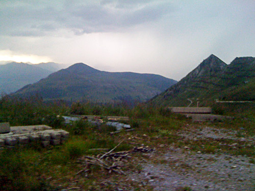
Now I was close to Austria and the bad weather had already arrived even before setting my foot in Austria (usually it starts raining when crossing the border to Austria, not before.)
